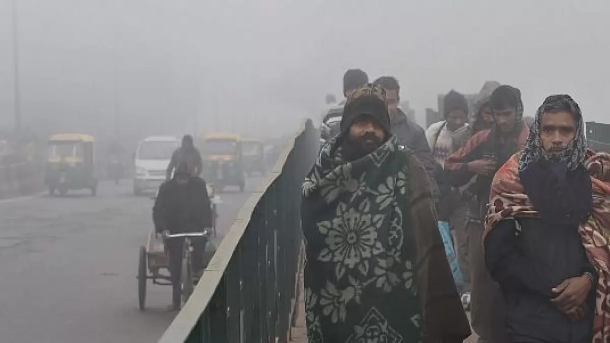
Cold wave conditions abated in most parts of north India Thursday and another bout of intense cold is unlikely during the next five days, the India Meteorological Department (IMD) said.
Cold Wave Abates In Most Parts Of North India; Light To Moderate Rainfall Expected
Under the Western Disturbance's influence, light to moderate rain and snowfall is likely over Jammu and Kashmir, Ladakh, Himachal Pradesh and Uttarakhand on January 20 to 22. The intensity and distribution are likely to increase between January 23 and January 26.

According to the weather department, cold wave conditions prevailed in pockets of south Haryana, east Rajasthan, north Madhya Pradesh and Bihar on Thursday.
Delhi got some respite from a severe cold wave as the minimum temperature in the national capital rose significantly on Friday due to overcast conditions.
The rise in temperature is attributed to western disturbances in the mountains. An active western disturbance has also changed the wind pattern.
As of 5.30 am today, Sadarjung observatory, the city's primary weather station, recorded a minimum temperature of 12.2 degrees Celsius against 5.6 degrees Celsius recorded yesterday. On the other hand, the minimum temperature was recorded at 12.8 degrees Celsius in Palam (+3.0). Check Delhi's weather forecast here.
Cold wave abated
Cold wave unlikely in northwest India for next 5 days, says IMD
Minimum temperatures settled in the range of 2 to 5 degrees Celsius in some parts of north Madhya Pradesh and isolated parts of Haryana and east Uttar Pradesh, it said.
Maximum temperatures were recorded in the range of 20 to 24 degrees Celsius at most places in the plains of northwest India and adjoining central and eastern parts of the country.
"Cold wave to severe cold wave conditions prevailed over Rajasthan, Haryana, Punjab, Chandigarh, Delhi, west Uttar Pradesh and northern parts of Madhya Pradesh from January 15 to January 18. With the impact of a fresh western disturbance from January 19, cold wave abated from most parts of these areas," the IMD said in a statement.
"No cold wave conditions over north India during the next five days," it said.
Western Disturbance affects temperature
"Another active western disturbance... is very likely to affect the western Himalayan region from the night of January 20 till January 26 and the plains of northwest India from January 23 to January 25," the IMD said.
Under its influence, light to moderate rain and snowfall is likely over Jammu and Kashmir, Ladakh, Himachal Pradesh and Uttarakhand on January 20 to 22. The intensity and distribution are likely to increase between January 23 and January 26.
Light to moderate rainfall and thundershower is likely over Punjab, Haryana, Delhi, north Rajasthan and West Uttar Pradesh from January 23 to January 25 and 26.?
When a western disturbance -- a weather system characterised by warm moist winds from the Middle East -- approaches a region, the wind direction changes. The chilly northwesterly winds from the mountains stop blowing, leading to an increase in temperatures.
(With PTI Inputs)
-
Previous Story
 Kolkata Doctor Rape-Murder Case: Victim's Father Turns Down Compensation, Says 'I Want Justice'
 - Next Story


